
Land Surveys
We provide professional Land Surveying services to the general public, builders, contractors, engineers and architects. Bell Land Surveys cover the entire spectrum of the surveying field.
Lot Line Survey
A property line survey of a lot or small parcel of land with property corners verified and flags and/or stakes placed along the property lines.
Site Planning Survey
Combination of a lot and topographic survey showing utilities, building setback lines, future streets, zoning, and other applicable information as needed for a Building Permit application.
Boundary Survey
A property line survey of any tract of land with the corner monuments found or new iron rods set as required to re-establish the lines and to generate a legal plat of the property.
Subdivision Survey
A boundary survey of a parcel of land divided into small lots with clearly marked corners. This process is particularly relevant in family divisions. Family divisions often involve transferring a piece of land to a child or grandchild, ensuring that property remains within the family.
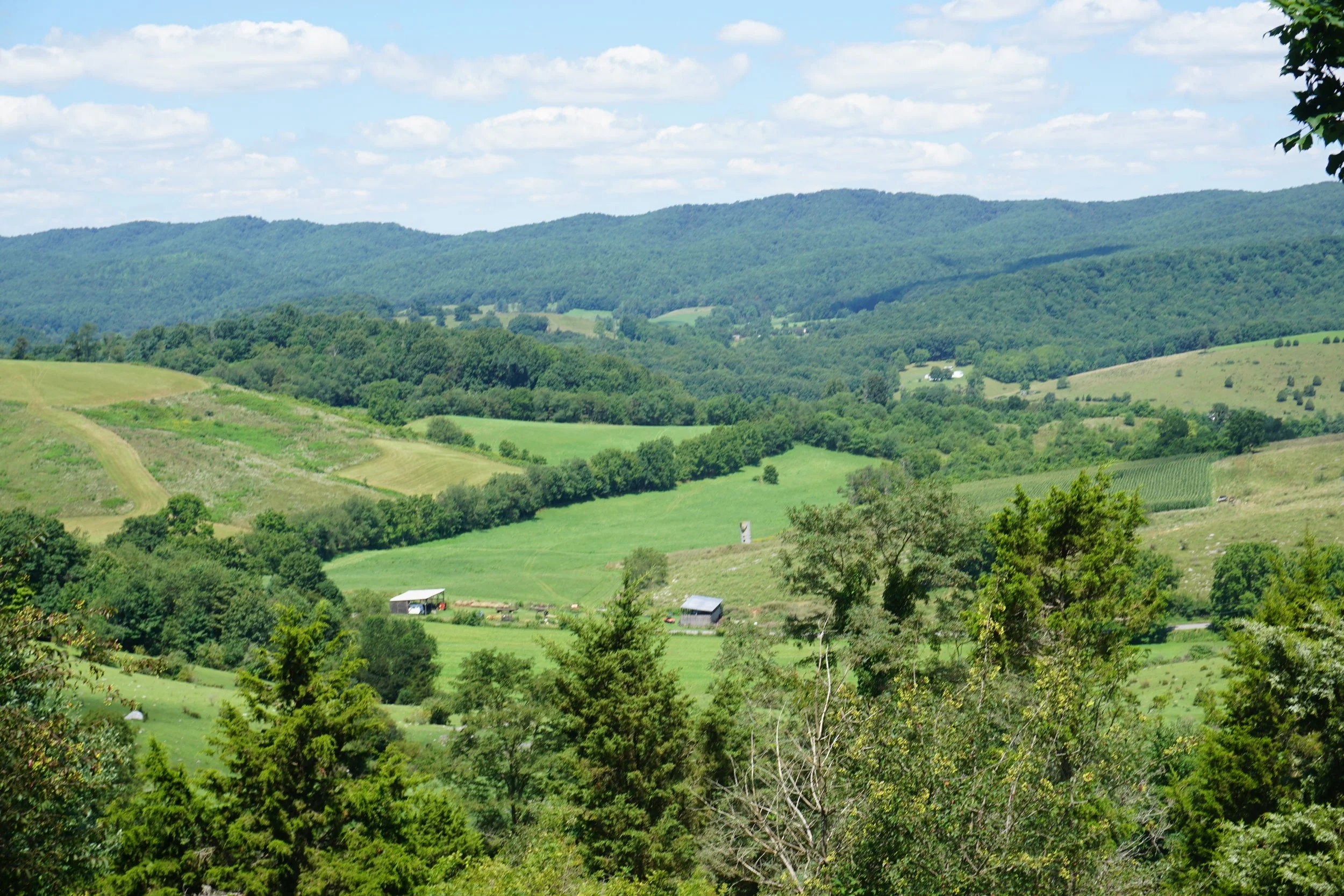
Topographic Survey
A survey locating all topographic features, natural and man made, such as buildings, fences, elevations, contours of the property, creeks, rivers, marshes, etc.
Title Insurance Survey
A survey made for the purpose of supplying a title company with survey and location data necessary for issuing the title insurance. This is commonly known as a physical survey.
If you're unsure which land survey is right for you, don’t worry.
Our experienced team will take a look at your project and help you choose the best solutions to meet your needs.

Boundary Surveys

We will perform extensive record search on the subject property to determine it's general size & shape. We will also look for easements or other encumbrances crossing the property (i.e. power lines, gas lines, phone lines, etc.). We then make a trip to property to find the property corners and measure between them. We will check these measurements against the information that we find in the record search to look for any errors or problems. At this point, we can mark the boundary lines and re-set any missing property corners. The last step is to draw a "plat" of the property. A plat that has been stamped & signed by a licensed land surveyor is a legal document that can be recorded in the local courthouse with a deed.
Topographic Surveys
These surveys are performed prior to construction. Topographic surveys tell an engineer or architect how the ground lays (hills & valleys) so that they can design how to place a building, or how to flatten a bunch of hills into a smooth parking lot. There are a variety of ways to perform a topographic survey depending on the size of the area to be mapped.
Site Plans

Most counties in Virginia require a plan of how someone intends to develop a piece of land. This plan is a combination of the Boundary Survey and the Topographic Survey with a few add-ons. Existing utilities, structures, driveways and other information that might pertinent to the construction (i.e. Zoning, area to be disturbed, etc) is also shown.

Get a Free Estimate

Reach out to us for a Free Estimate today!
We’ll discuss your goals, answer any questions, and provide you with a clear plan for moving forward. No obligation—just friendly, professional advice from a trusted local business.